

Neighbors helping neighbors for clean water
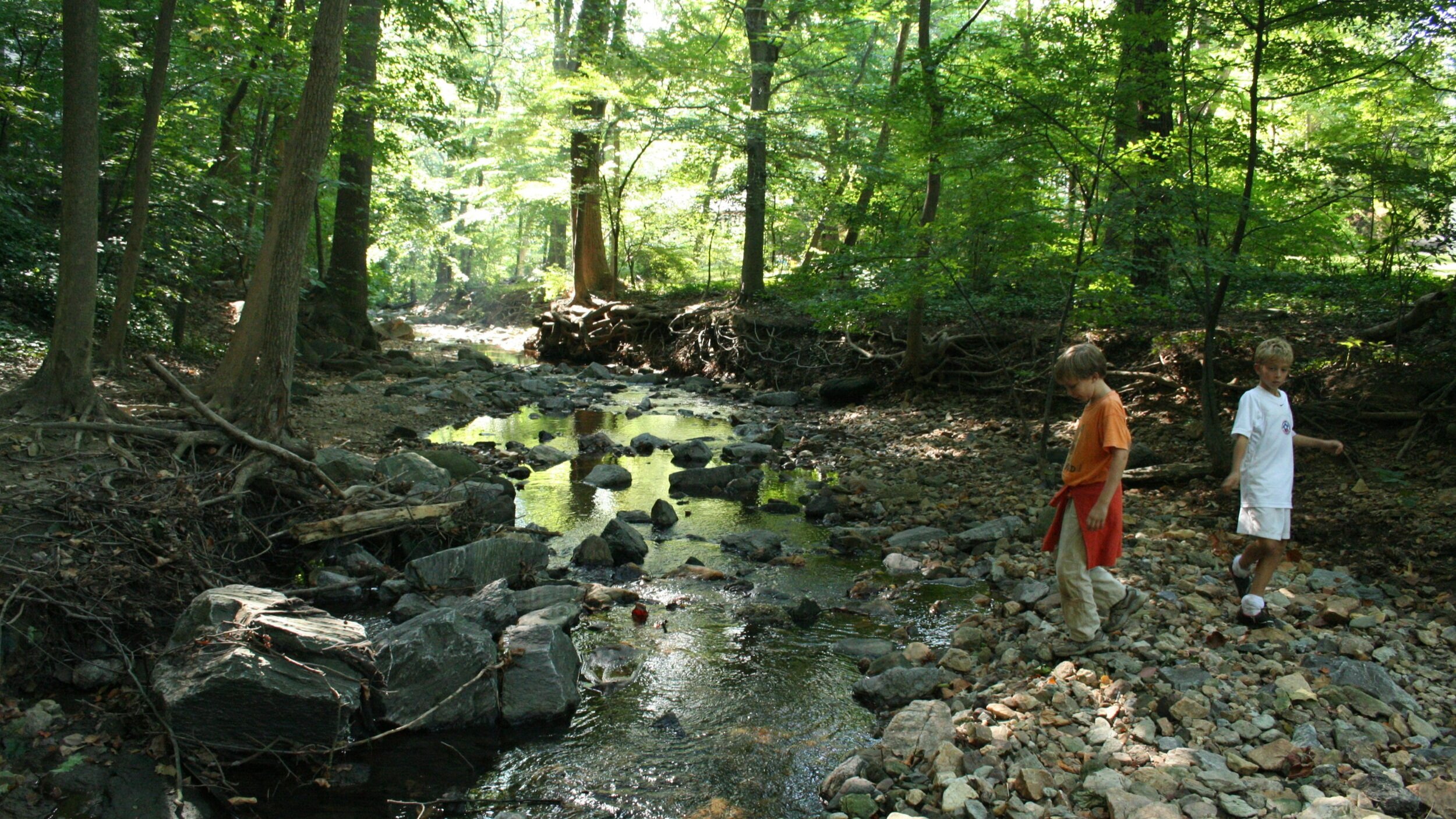
The Little Falls Watershed is a natural ecosystem located in the densely populated area of NW Washington DC and lower Montgomery County, Maryland. It is home to three creeks — the Little Falls Branch, the Willett Branch and the Minnehaha Branch. Around those creeks is the 160 acre Little Falls Stream Valley Park and much of the popular Capital Crescent bike trail. All the water that hits the ground in the watershed ultimately ends up in the Potomac River and Chesapeake Bay via the Little Falls Branch.
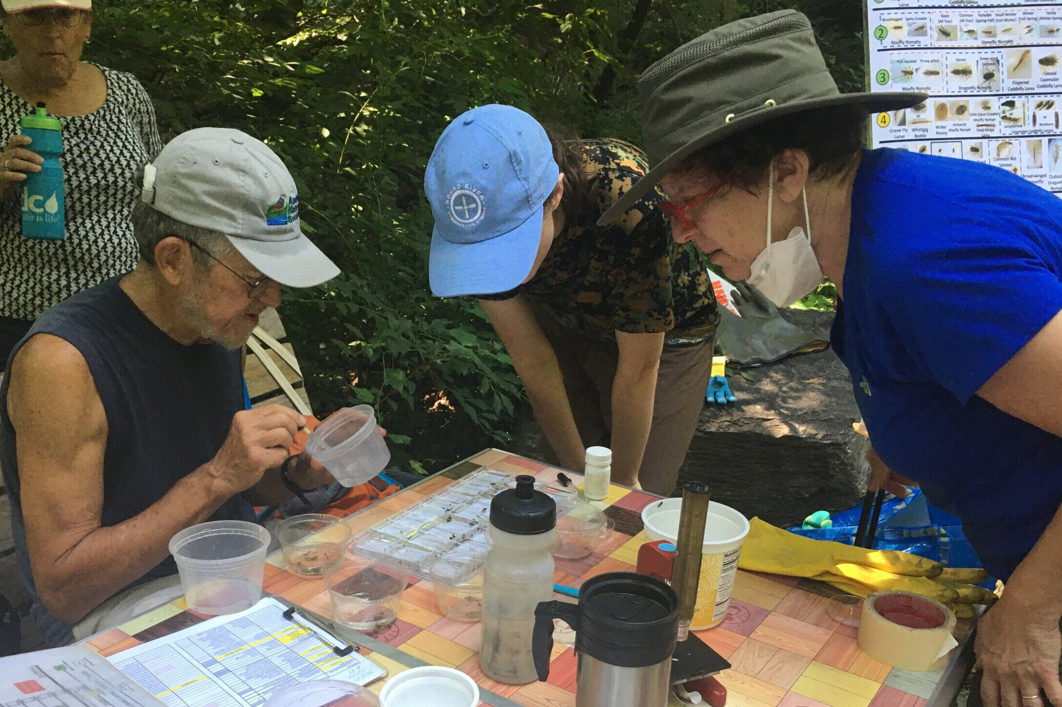
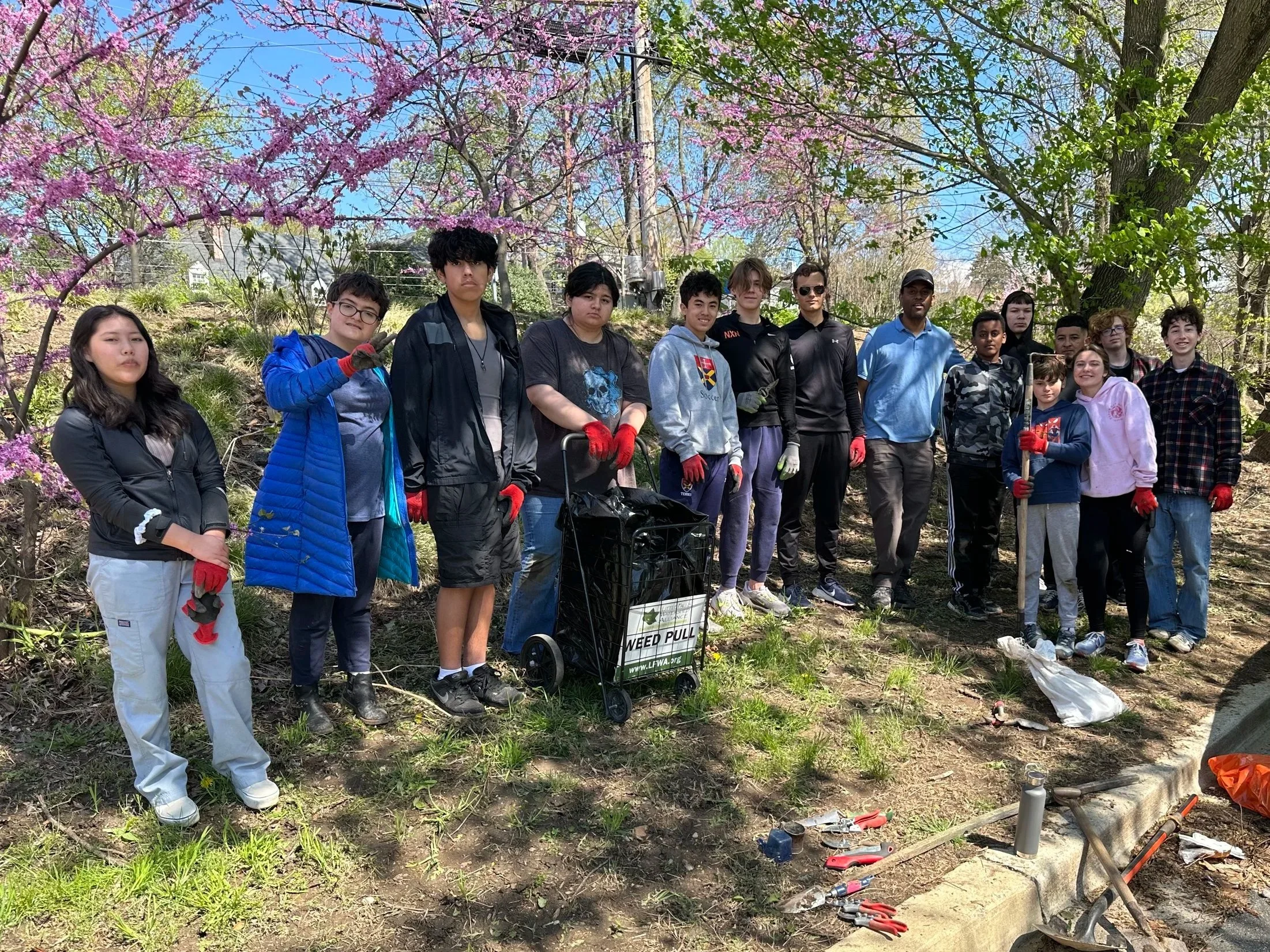
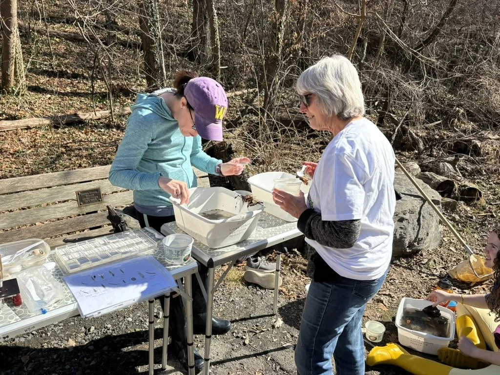
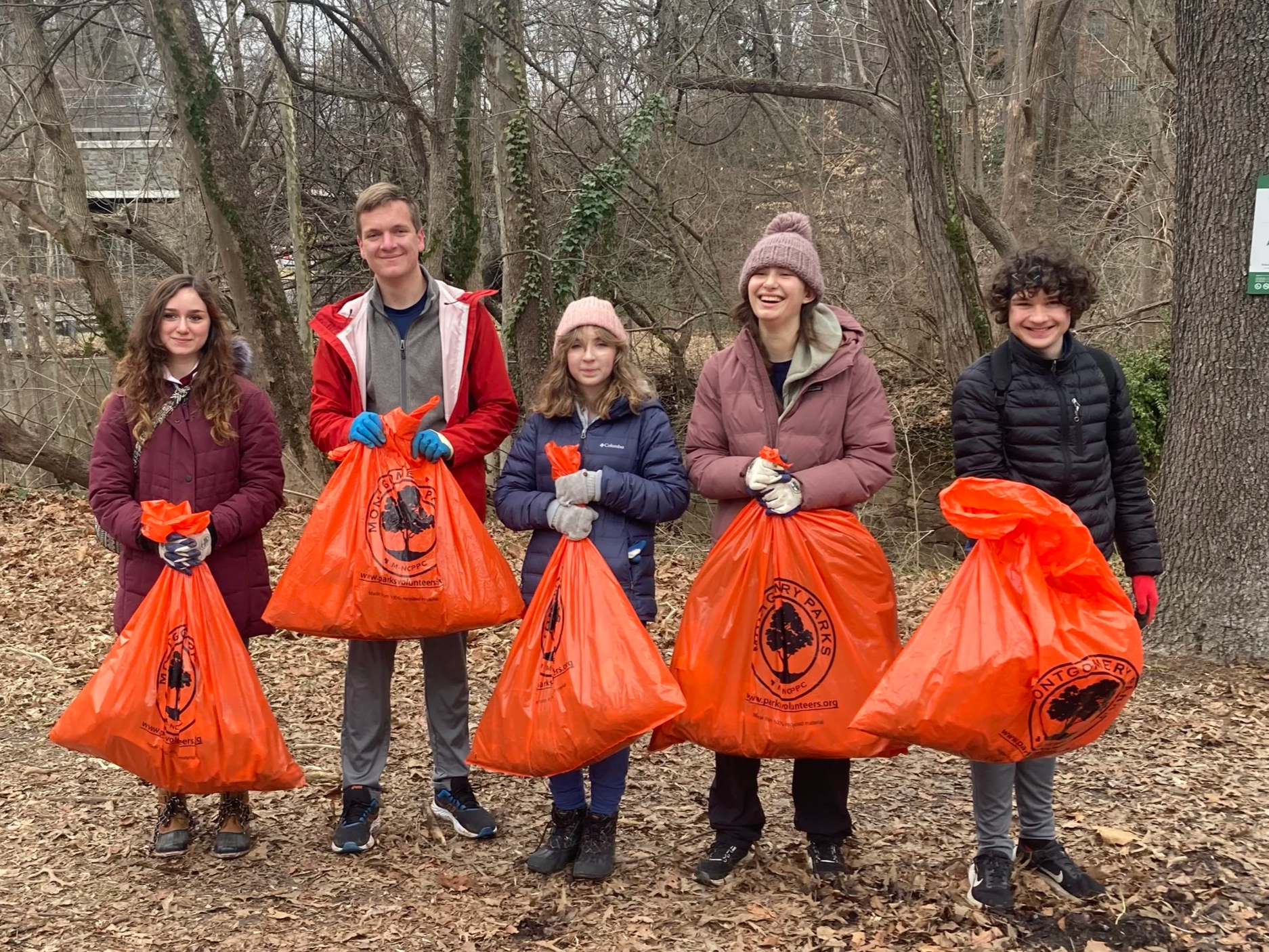
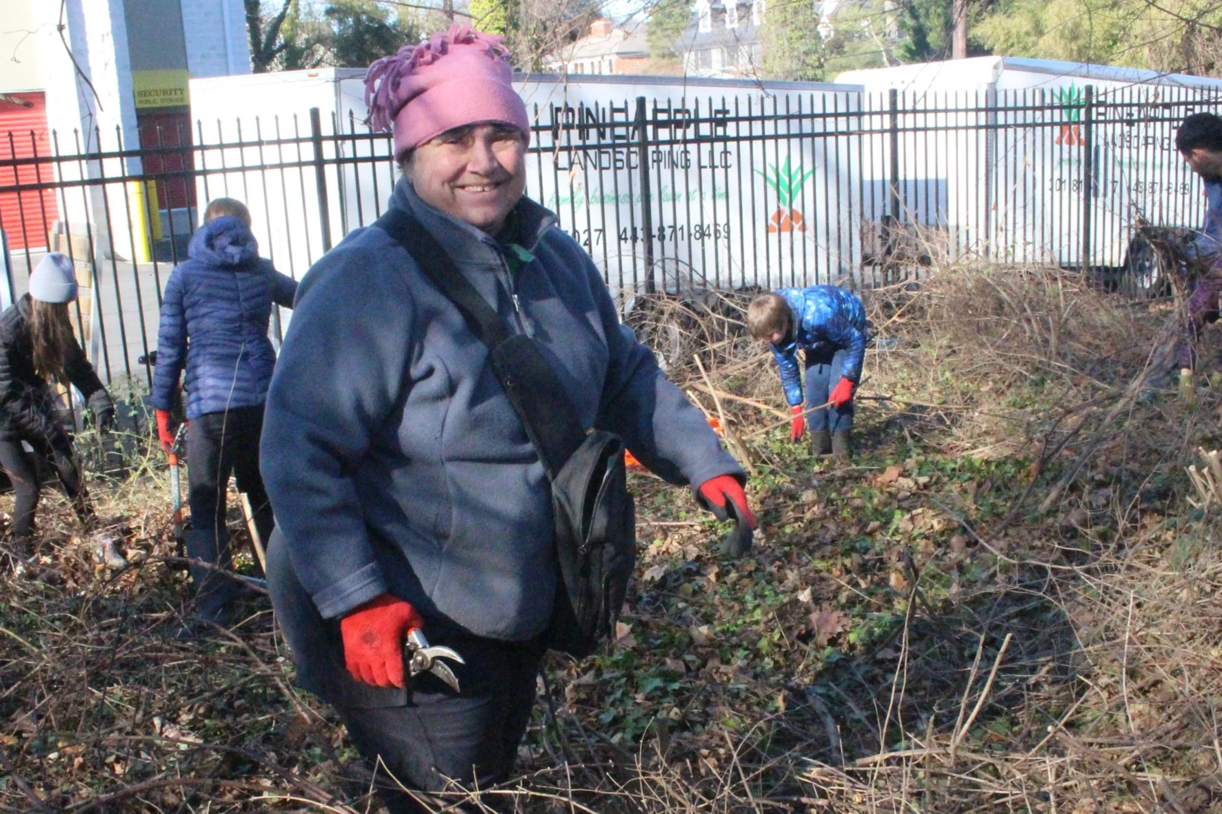
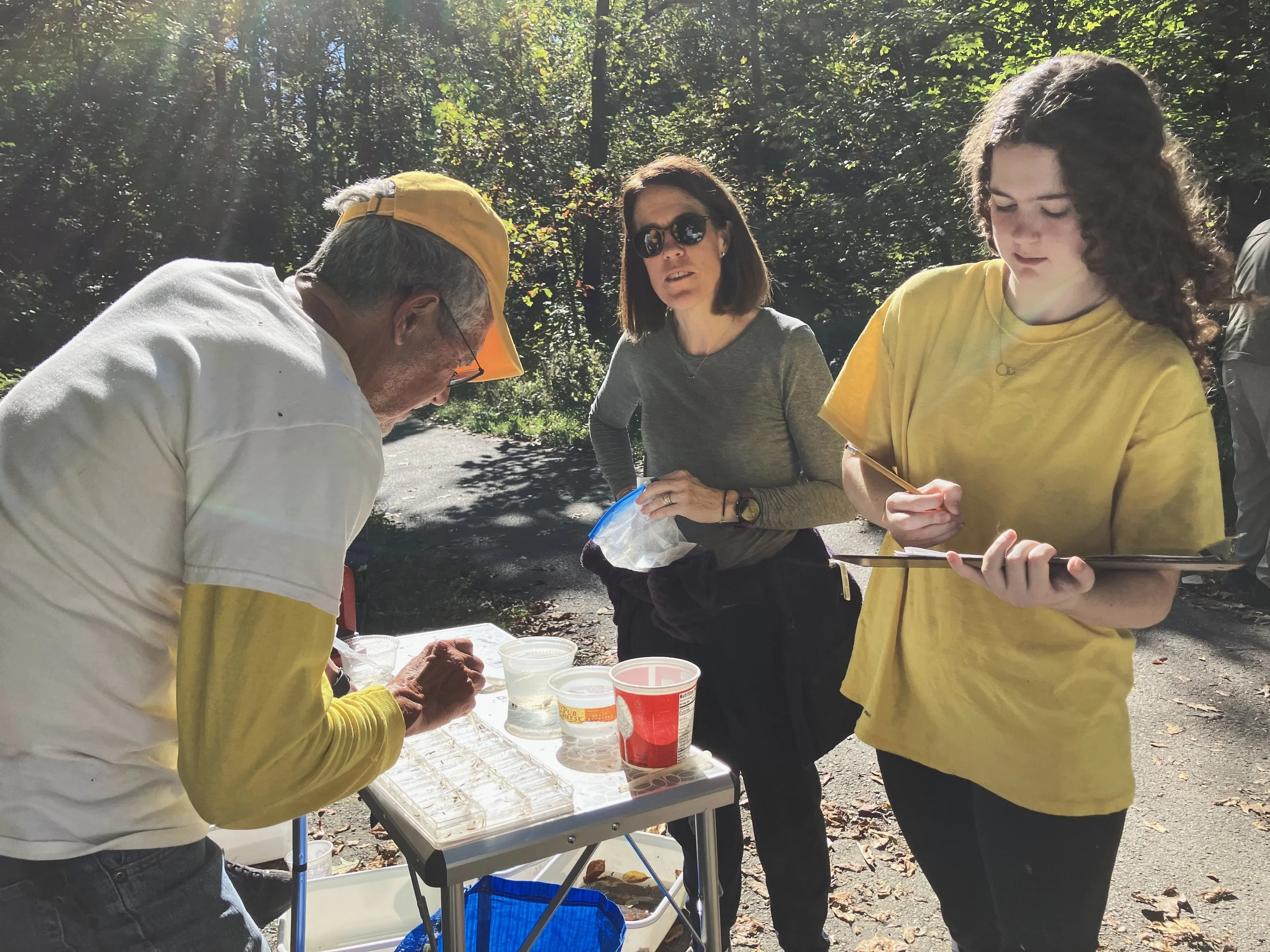
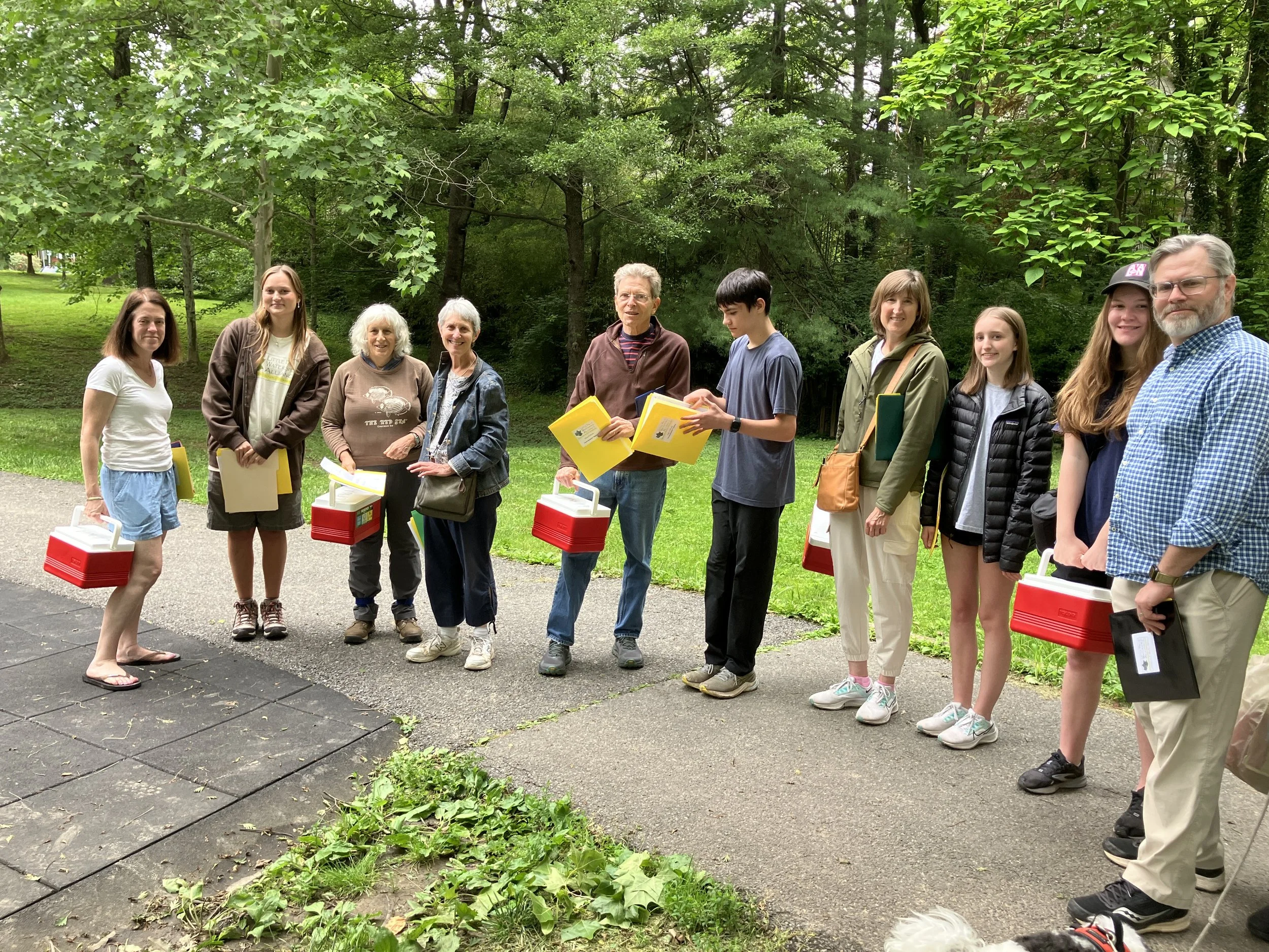
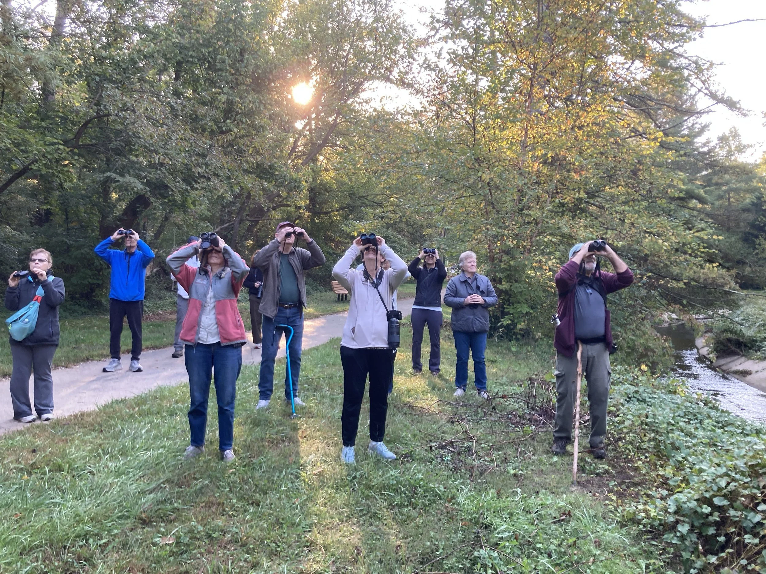
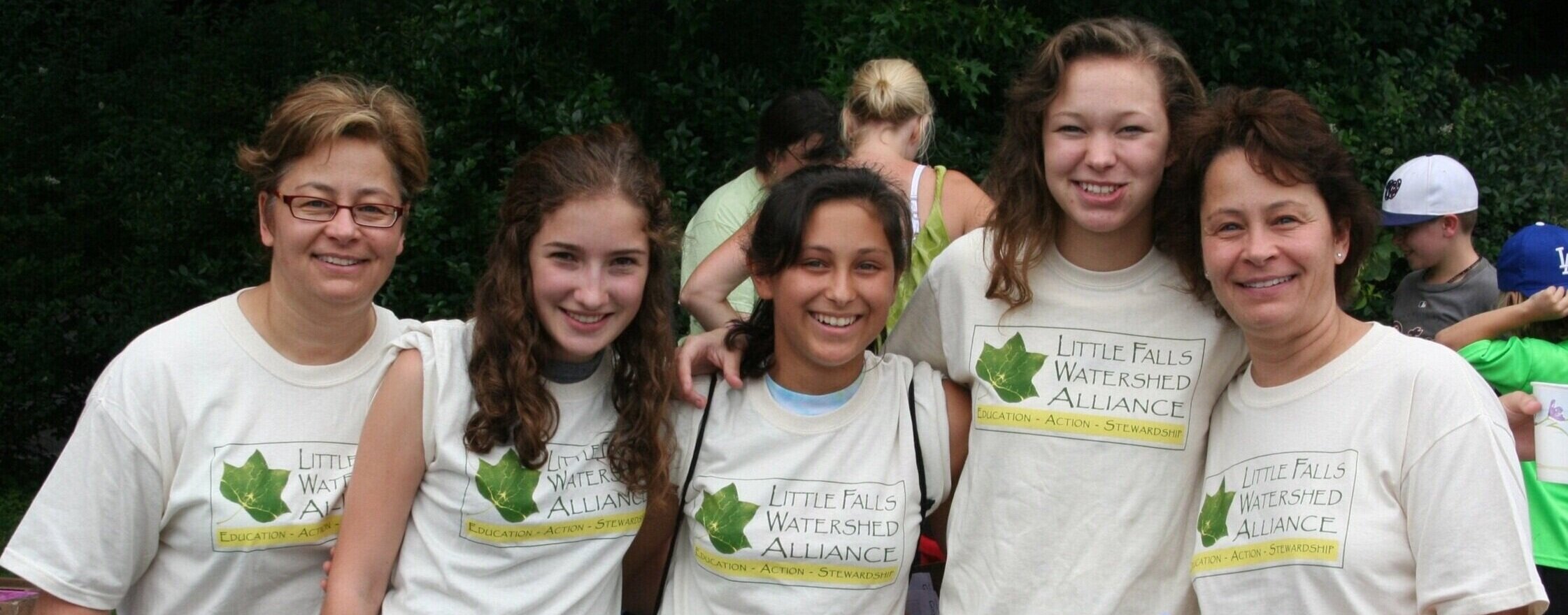
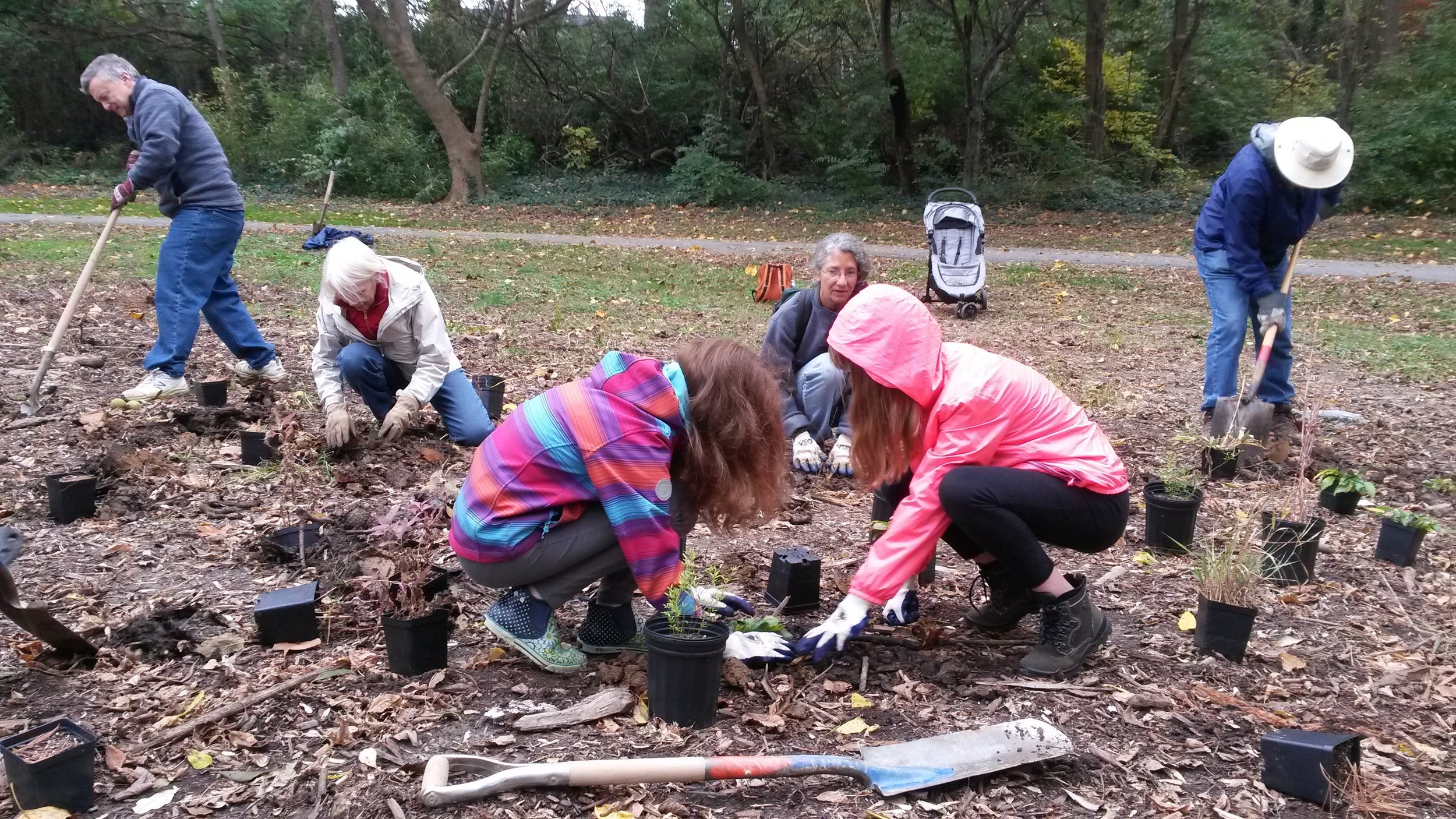
The Little Falls Watershed Alliance mission is to protect this fragile environment. We run over 40 volunteer events each year, plenty of opportunities to do your part and help in our efforts to repair the water, restore the land, revive our woods and clean our parks. We invite you to join us in stewardship of our watershed.